UT dark sky places
List of darkest parks and places in Utah for stargazing, astrophotography, astrotourism, star parties, and astronomy club events. Often these are national and state parks and forests that are either remote or "protected" against light pollution.
National and state parks often let you stay overnight under the stars, hence their motto - "Half the park is after dark".
Bortle scale for sites is given where known. Also ask your local astronomy club for guidance as they will know the darkest places.
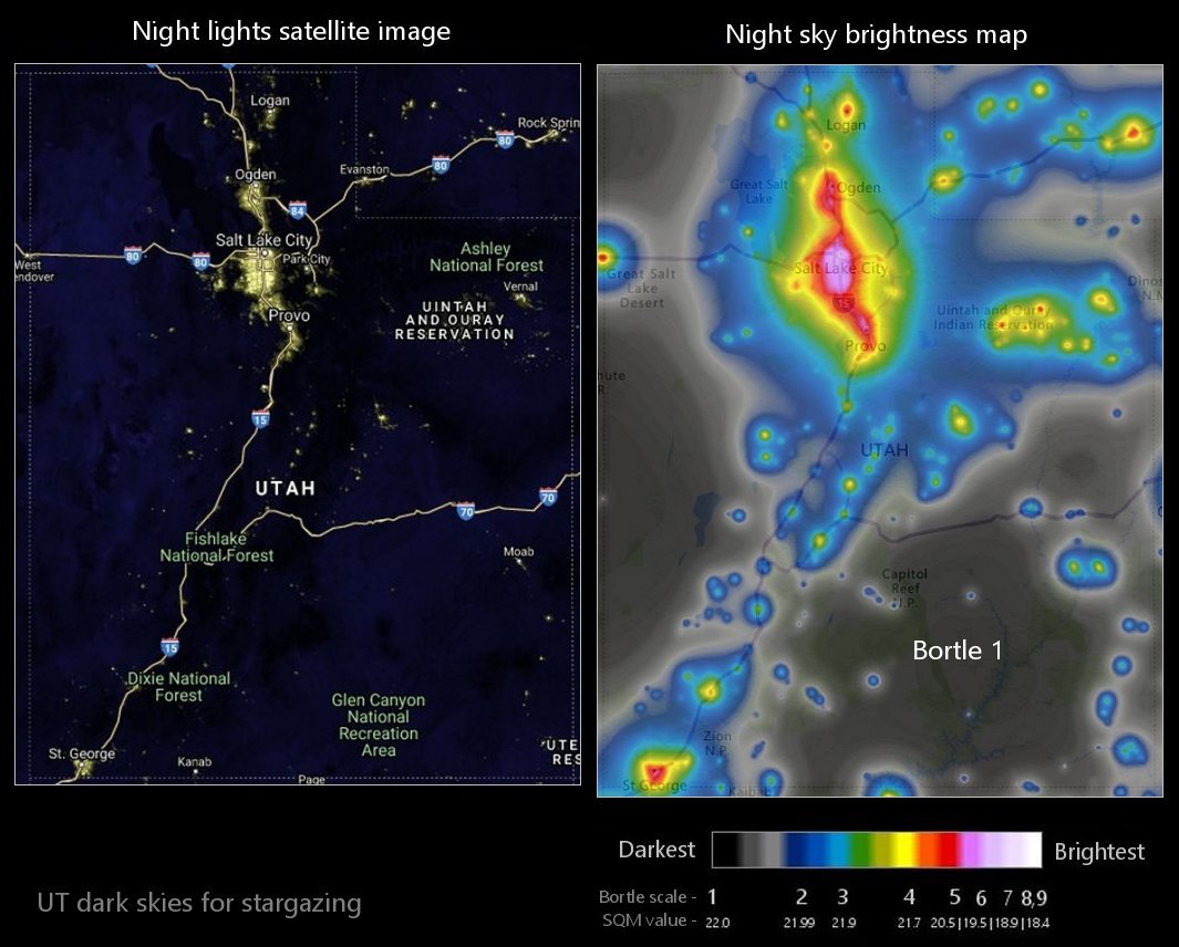
Light pollution map w/ Bortle
On the left is a 2023 satellite image of UT showing light pollution from the NOAA National Geophysical Data Center. On the right is a 2015 light pollution map showing sky brightness at the zenith from World Atlas data. Colors correspond approximately to the Bortle scale. Use as a guide to find the darkest sky locations near you.

