
How dark the sky is at Perigord-Limousin Regional Natural Park: Bortle Class 4, rural and suburban transition
The zenith sky here reads 21.65 magnitudes per square arcsecond. That is about 1.4 times the brightness of a pristine natural sky (22.0), the extra coming from artificial light scattered in the air.
Milky Way
The Milky Way is impressive well above the horizon but loses its fine detail
Zodiacal light
Zodiacal light is visible but faint
Faintest naked-eye stars
Magnitude 6.1 to 6.5 overhead
Naked eye
Light domes from towns show in several directions; M33 is hard even with averted vision
At the eyepiece
Clusters, planetary nebulae and bright galaxies are fine; faint nebulae need a filter
Sky brightness and class come from the World Atlas of Artificial Night Sky Brightness (Falchi et al. 2016, CC BY-NC 4.0), with natural skyglow added. On the night, haze, smoke, humidity and the Moon set the real limit.
What's up from Perigord-Limousin Regional Natural Park by season
At latitude 45.7°N, the north celestial pole stands 46° above the horizon, close to Polaris. Every star north of declination -44° rises at some time of year. The Milky Way core in Sagittarius climbs to 15° above the southern horizon. These are the constellations well placed, 35° or more above the horizon, at about 10 pm in the middle of each season, brightest first.
January evenings (winter): Auriga, Orion, and Canis Minor
- AurigaOverhead, brightest star Capella
- OrionIn the south, brightest star Rigel
- Canis MinorIn the southeast, brightest star Procyon
- TaurusHigh in the southwest, brightest star Aldebaran
- GeminiHigh in the southeast, brightest star Pollux
- Ursa MajorIn the northeast, brightest star Alioth
- PerseusHigh in the west, brightest star Mirfak
- Ursa MinorIn the north, brightest star Polaris
Also well placed: Aries, Andromeda, Cassiopeia, Cepheus, Triangulum, Lynx, Cancer, Monoceros, Leo Minor, Camelopardalis.
April evenings (spring): Bootes, Virgo, and Leo
- BootesHigh in the east, brightest star Arcturus
- VirgoIn the southeast, brightest star Spica
- LeoHigh in the southwest, brightest star Regulus
- Ursa MajorOverhead, brightest star Alioth
- Ursa MinorHigh in the north, brightest star Polaris
- Corona BorealisIn the east, brightest star Alphecca
- DracoIn the northeast, brightest star Eltanin
- Canes VenaticiOverhead, brightest star Cor Caroli
Also well placed: Lynx, Cancer, Leo Minor, Camelopardalis, Coma Berenices, Sextans.
July evenings (summer): Bootes, Lyra, and Aquila
- BootesHigh in the west, brightest star Arcturus
- LyraOverhead, brightest star Vega
- AquilaIn the southeast, brightest star Altair
- CygnusHigh in the east, brightest star Deneb
- Ursa MinorHigh in the north, brightest star Polaris
- OphiuchusIn the south, brightest star Rasalhague
- Corona BorealisHigh in the southwest, brightest star Alphecca
- DracoOverhead, brightest star Eltanin
Also well placed: Cepheus, Hercules, Canes Venatici, Sagitta, Delphinus, Lacerta, Vulpecula.
October evenings (fall): Lyra, Cygnus, and Perseus
- LyraIn the west, brightest star Vega
- CygnusHigh in the west, brightest star Deneb
- PerseusIn the east, brightest star Mirfak
- Ursa MinorIn the north, brightest star Polaris
- AriesIn the east, brightest star Hamal
- AndromedaOverhead, brightest star Alpheratz
- DracoIn the northwest, brightest star Eltanin
- CassiopeiaOverhead, brightest star Schedar
Also well placed: Pegasus, Cepheus, Triangulum, Pisces, Delphinus, Lacerta, Equuleus, Camelopardalis, Vulpecula.
Showpieces from Perigord-Limousin Regional Natural Park through the year
| Sight | Constellation | January | April | July | October |
|---|---|---|---|---|---|
| Andromeda Galaxy (M31) | Andromeda | In the northwest | - | - | Overhead |
| Orion Nebula (M42) | Orion | In the south | - | - | - |
| Pleiades (M45) | Taurus | High in the southwest | - | - | In the east |
| Double Cluster | Perseus | High in the northwest | - | - | High in the northeast |
| Hercules Cluster (M13) | Hercules | - | In the east | Overhead | - |
| Whirlpool Galaxy (M51) | Canes Venatici | - | High in the east | In the northwest | - |
| Ring Nebula (M57) | Lyra | - | - | High in the southeast | In the west |
At about 10 pm on the 15th of each month; a dash means the sight is below 25° then.
Never set from Perigord-Limousin Regional Natural Park
Only skim the southern horizon from Perigord-Limousin Regional Natural Park
Never rise from Perigord-Limousin Regional Natural Park
Where to set up at Perigord-Limousin Regional Natural Park
The coordinates on this page point to Grand Puyconnieux viewpoint, Monts de Chalus, at 498 m (1,630 ft): 45.658°N, 0.886°E.
Map data © OpenStreetMap contributors. Open the larger map · Directions. Arrive before dark, park facing away from other observers, and use red light only.
Perigord-Limousin Regional Natural Park among the dark sky places of France
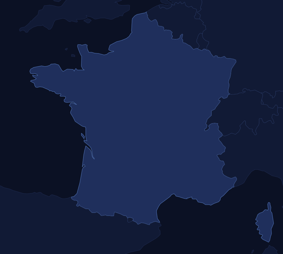
Each dot is a dark sky place, colored by Bortle class; select one for its page. See Dark sky places outside the United States for the full list, darkest first.
Camping and lodging at Perigord-Limousin Regional Natural Park
The nearest town with motels or inns is Chalus, France. Check the official site for campgrounds and overnight rules; many parks close their gates at night, so ask about after-dark access.
Dark sky places nearest Perigord-Limousin Regional Natural Park
| Place | Where | Bortle | Distance |
|---|---|---|---|
| Millevaches Regional Natural Park | Saint-Gilles-les-Forets, France | 3 | 59 km (37 mi) |
| Vezere Valley | Les Eyzies, France | 4 | 81 km (50 mi) |
| Landes de Gascogne Regional Natural Park | Belin-Béliet, France | 3 | 190 km (118 mi) |
| Cevennes National Park | L'Esperou, France | 3 | 273 km (169 mi) |
| Regional Natural Park of Morvan | Saint-Brisson, France | 3 | 302 km (188 mi) |
| Pic du Midi International Dark Sky Reserve | La Mongie, France | 3 | 308 km (192 mi) |
| Valle del Roncal | Isaba, Spain | 3 | 342 km (212 mi) |
| Comapedrosa Valleys Natural Park | Arinsal, Andorra | 4 | 344 km (214 mi) |
Star parties near Perigord-Limousin Regional Natural Park
| Star party | Near | Distance | Usual timing |
|---|---|---|---|
| AstroCamp | Brecon, Wales | 761 km (473 mi) | Spring and autumn |
Observatories and astronomy clubs near Perigord-Limousin Regional Natural Park
No observatory or astronomy club on the list is near Perigord-Limousin Regional Natural Park.
See observatories and astronomy clubs around the world. Local clubs often hold their star parties at dark sky places like this one.
Perigord-Limousin Regional Natural Park record
Every value in the dark sky places dataset for Perigord-Limousin Regional Natural Park
| Park | 98 |
|---|---|
| Name | Perigord-Limousin Regional Natural Park |
| Area | Europe |
| Region | Haute-Vienne |
| Country | France |
| Location | Dournazac |
| Lat | 45.65818 |
| Lon | 0.88597 |
| LatLonSpot | Grand Puyconnieux viewpoint, Monts de Chalus |
| Elevation_m | 498 |
| LandManager | Perigord-Limousin Regional Natural Park |
| Status | Open |
| StatusNote | Seed name was vague; assumed Perigord-Limousin park; overlaps Vezere Valley (Park 100) only loosely |
| Lodging | Chalus, France |
| Sources | https://www.cirkwi.com/en/point-interet/3460318-point-de-vue-le-grand-puyconnieux |
| Bortle | 4 |
| SQM | 21.65 |
From the site's dark sky places dataset (darkparksglobal_q426). The sky by season is computed from the coordinates.